Romincka Forest – a forest complex forming a part of the Lithuanian Lake District and the north-easternmost part of Mazury Garbate.
The forest extends into both Polish and Russian (Kaliningrad Oblast) territories. Geologically, the depression of the forest area forms the transition zone between the Mazurian and Lithuanian glacial lobes.
The forest covers an area of about 35.5 thousand ha, including about 15.5 thousand ha on the Polish side. It features unique fauna and flora, somewhat similar to those of the taiga.
Two rivers run through the forest: Błędzianka and Bludzia. The moraine terrain of the forest – highly curved, composed of loamy clay and glacial sand – also contains many other smaller streams, watercourses, bogs, marshes, springs, lake ponds and wetlands. The forest’s denivelations can reach up to 120-140 metres, with its highest point at 295.4 m above sea level, and the lowest being 150 m above sea level.
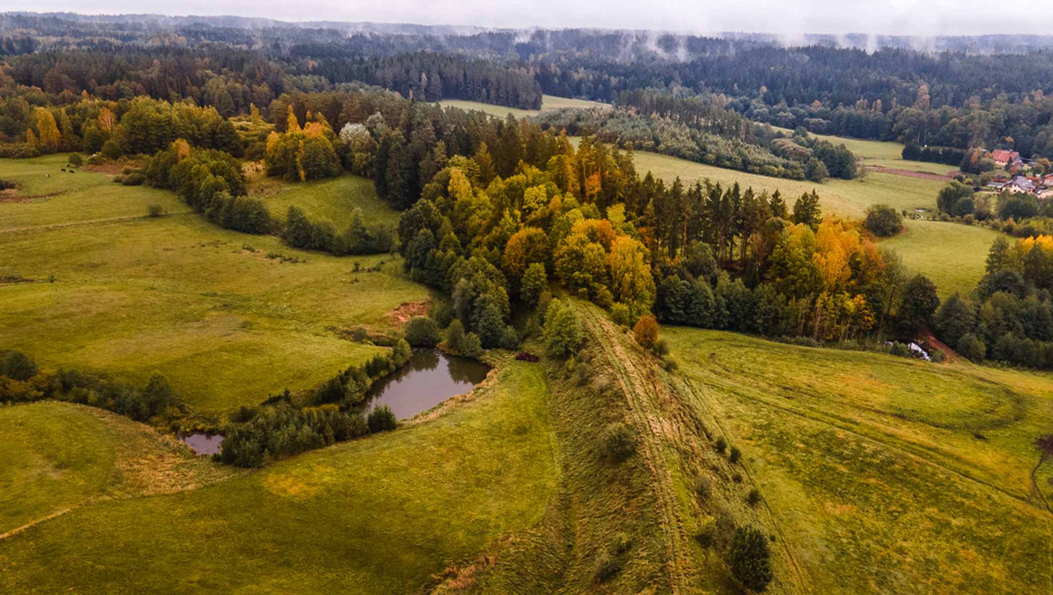


Photo by Jarosław Kowalski
Żytkiejmy, ul. Szkolna 1
19-504 Dubeninki